CASE STUDY 01
01
MINING / GEOSPATIAL
NAMIBIA
STATUS: PRIOR DELIVERY EXPERIENCE
Mine survey data that answered a commercial question.
The requirement
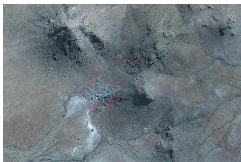
A mine required an updated topographic survey and defensible volume calculations across defined material areas.
The evidence
- UAV photogrammetry
- 13 ground-control points
- 3 permanent survey beacons
- WGS84 / UTM34S delivery
- cleaned point-cloud processing
- orthophoto generation
- terrain/TIN processing
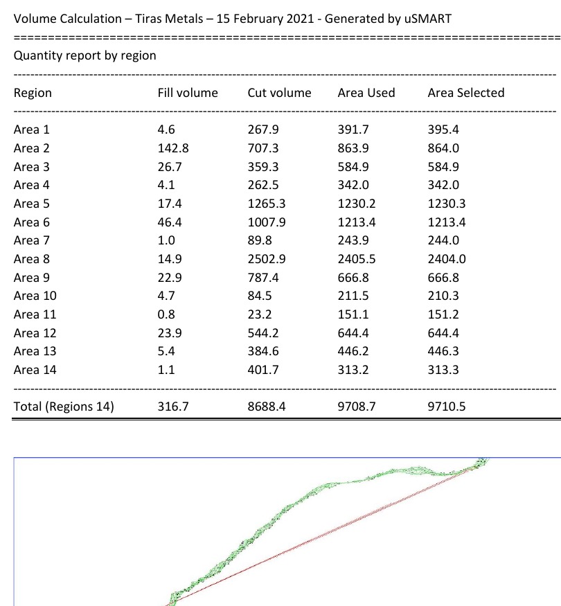
- volume calculations
- cross-section outputs
The output
The survey converted aerial capture into quantified geospatial information rather than simply delivering photographs.
Defined material areas were measured and reported with supporting survey evidence and cross-sections.
Why it mattered
The deliverable helped answer an operational and commercial question:
What material is present, where is it located, and what quantity can be supported by the survey evidence?
Historical Namibia project delivered by members of the current V3 Namibia delivery network prior to incorporation of Vector Three Namibia Trading CC.