Best suited to
Where this solution fits.
- Topographic and engineering surveys
- Corridors and linear infrastructure
- Construction baselines and as-builts
- Difficult terrain and vegetation
- Repeat survey and change detection

GEO / LDR
Terrain / geometry / change
Engineering-ready LiDAR, photogrammetry and drone survey data for mining, infrastructure, renewables and construction in Namibia.
Discuss this requirement ↗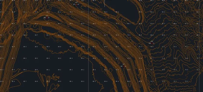
The decision
Best suited to
Deliverables
Scope inputs
Common questions
LiDAR is often preferred where ground definition, vegetation penetration or complex geometry matters. Photogrammetry is strong for high-resolution colour, mapping and surface modelling. Some projects benefit from both.
Yes. Output formats and coordinate requirements are agreed before mobilisation so the delivery fits the client workflow.
Start with the decision
We will help define the appropriate method, scope, limitations and delivery format.
Contact us ↗