Define
Confirm coordinate reference, control, accuracy, coverage, formats and end use.
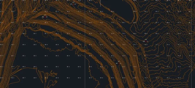

GEO / 03
LiDAR / photogrammetry / spatial intelligence
Traceable terrain, geometry and change evidence for planning, design, construction, quantities and monitoring.
The requirement
Accuracy is not a marketing claim—it is a project requirement. We define the coordinate system, control approach, accuracy, output formats and intended use before mobilisation, then build the capture method around that decision.
Evidence layers
We select the capture, access and analysis method around the asset and intended decision.
Confirm coordinate reference, control, accuracy, coverage, formats and end use.
Select LiDAR, photogrammetry or an integrated method suited to terrain and outputs.
Build controlled point clouds, imagery, terrain and surface products.
Supply structured files, quality information and naming suited to the client workflow.
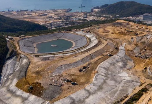 GEO / 03 / FIELD EVIDENCE
Typical applications
01Topographic surveys
02Mine and stockpile volumes
03Road and rail corridors
04Renewable development sites
05Construction and as-built records
06Repeat survey and change detection
Structured delivery
The final package is agreed before mobilisation and delivered in formats suited to the client workflow.
Start with the decision
We will help define the right capture, inspection and reporting approach before equipment is mobilised.
Contact us