Best suited to
Where this solution fits.
- Mine and quarry stockpiles
- Construction materials
- Earthworks quantities
- Monthly reconciliation
- Before-and-after measurement

MIN / VOL
Quantities / reconciliation / change
Repeatable drone stockpile surveys and volume calculations for mines, quarries, construction sites and material yards in Namibia.
Discuss this requirement ↗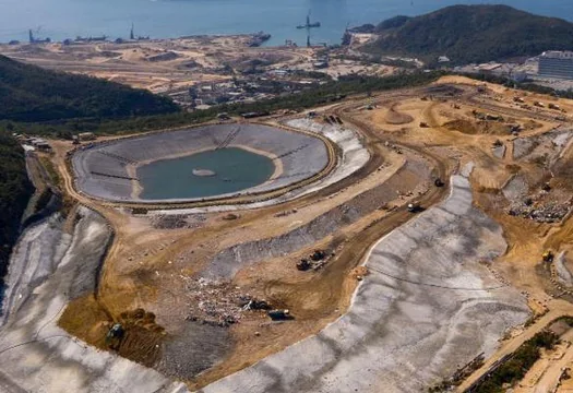
The decision
Best suited to
Deliverables
Scope inputs
Common questions
Accuracy depends on control, surface visibility, pile geometry and the selected base surface. We agree the method and limitations before capture rather than promise a generic percentage.
Yes. A repeatable capture and naming method supports reconciliation and change tracking over time.
Start with the decision
We will help define the appropriate method, scope, limitations and delivery format.
Contact us ↗