Terrain & geometry
LiDAR, photogrammetry, surface models, contours, volumes and engineering-ready spatial data.
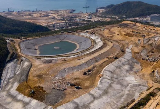

MIN / 01
Survey / inspection / operational evidence
A clearer view of terrain, infrastructure, quantities and difficult-access assets—structured for engineering and operational decisions.
The requirement
Mining sites rarely need another folder of imagery. They need controlled evidence tied to the right area, structure or decision. V3 Namibia combines survey, inspection and repeatable site capture into one delivery model.
Evidence layers
We select the capture, access and analysis method around the asset and intended decision.
LiDAR, photogrammetry, surface models, contours, volumes and engineering-ready spatial data.
Visual and thermal evidence for plants, conveyors, structures and difficult-access components.
Site-wide imagery that connects isolated findings to roads, stockpiles, pits and surrounding infrastructure.
Repeat capture to support progress, quantities, rehabilitation and condition comparison.
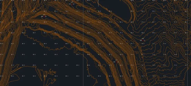 MIN / 01 / FIELD EVIDENCE
Typical applications
01Pits and stockpiles
02Plants and conveyors
03Tailings and water infrastructure
04Roads and site corridors
05Critical structures
06Construction and rehabilitation
Structured delivery
The final package is agreed before mobilisation and delivered in formats suited to the client workflow.
Start with the decision
We will help define the right capture, inspection and reporting approach before equipment is mobilised.
Contact us